The Severn Way
Stage Eleven: Atcham to Cressage
DATE: 31st May 2025
DISTANCE
5.90 miles (Walked)
TOTAL SO FAR: 95.15 miles
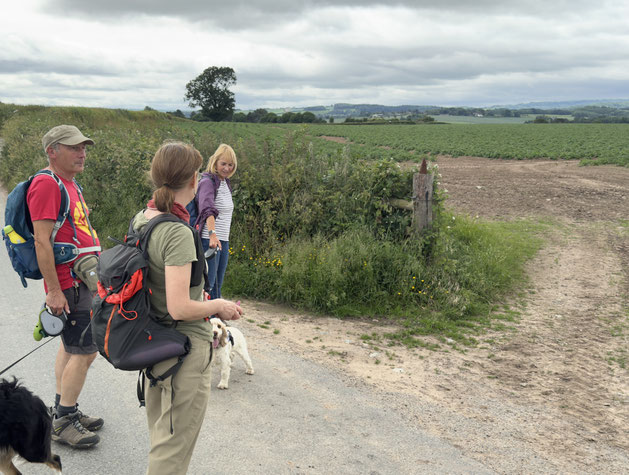
A bit of a challenge from the start last the first 1.5 miles were along roads with busy, fast moving traffic. Parking had not been easy for the finish line as Cressage doesn't seem to have any defined parking areas. However locals seemed quite happy for visitors to use its parking spaces. This was a short walk, but, given the traffic at start and end, it was not a favourite leg. Big highlight was spotting Wroxeter Roman villa across a field.
[Stg 1] [Stg 2] [Stg3] [Stg 4] [Stg 5] [Stg 6] [Stg 7] [Stg 8] [Stg 9] [Stg 10] [Stg 11] [Stg 12] [Stg 13] [Stg 14] [Stg 15] [Stg 16] [Stg 17] [Stg 18] [Stg 19]
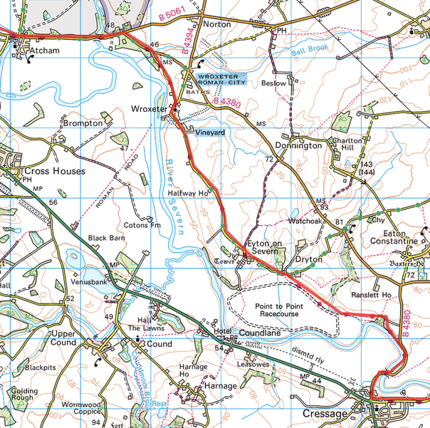
ROUTE MAP STAGE 11
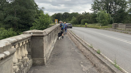
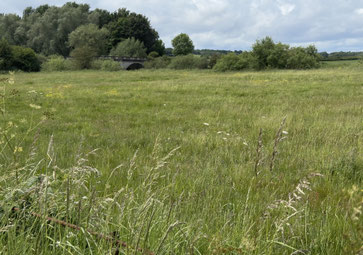
This leg started with a coffee at the Mytton & Mermaid. The first part of the walk was along the edge of Attingham Park, by the B5061: very busy traffic; we were pleased to head on to smaller roads / tracks. We walked towards Wroxeter, the route taking us below the ruins of Wroxeter Roman city; the reconstructed villa was visible over the hedge. Very little habitation en route but we did go through Wroxeter and Eyton, little more than hamlets. Once off the tracks, the Severn Way was not only poorly way marked, but the right of way had been allowed to become overgrown, making spotting a route and travelling along the designated route practically impossible. Ended up having to break out onto a road to reach the severn bridge at Cressage. Finally, had a great lunch at the Riverside Inn, not officially on the Severn Way, but we did, at last, have an impressive view of the river.
Photos below are a slide show of how the walk panned out. To start, click on top left image of the group below.


