The severn way
Stage 12: Cressage to Ironbidge
DATE: 22nd June 2025
DISTANCE
6.50 miles (Walked)
TOTAL SO FAR: 101.65 miles
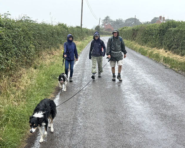
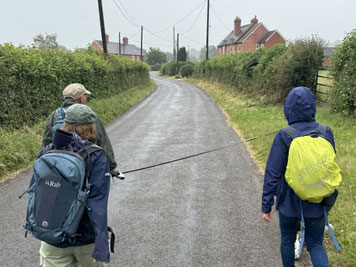
Expecting a full day of sunshine a cool temperatures but ended up with the wettest, greyest trek imaginable - absolutely no let up.
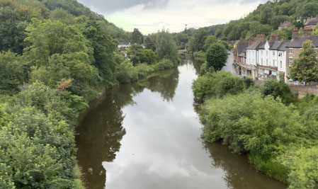
Parking at start and finish of walk was easy to sort and it was good to get a view of Ironbridge: definitely feels like the Severn valley now.
Another road walk though and pleased that it was one of the shorter sections.
[Stg 1] [Stg 2] [Stg3] [Stg 4] [Stg 5] [Stg 6] [Stg 7] [Stg 8] [Stg 9] [Stg 10] [Stg 11] [Stg 12] [Stg 13] [Stg 14] [Stg 15] [Stg 16] [Stg 17] [Stg 18] [Stg 19]
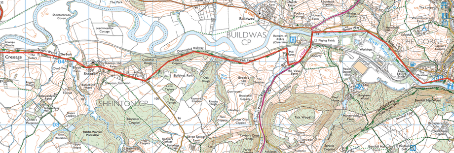
ROUTE MAP STAGE 12
Starting from the Village Hall at Cressage, we walked along a minor road towards Sheinton. The rain started almost immediately and continued without let up, until we had almost completed the section, in Ironbridge. A footpath led off the road and headed down hill through woods, by the side of the river (although hardly visible through the undergrowth). Eventually it led out onto a track, past a couple of farms, and then onto the A4169. Buildwas Abbey was nearby at that point, but really couldn't catch sight because of the rain. It was too wet to have a look around Ironbridge when we arrived but we did head off again for Sunday lunch at the Riverside Inn, near Cressage.
Photos below are a slide show of how the walk panned out. To start, click on top left image of the group below.


