the severn way
Stage 13: Ironbridge to Bridgnorth
DATE: 24th July 2025
DISTANCE
10.80 miles (Walked)
TOTAL SO FAR: 112.45 miles
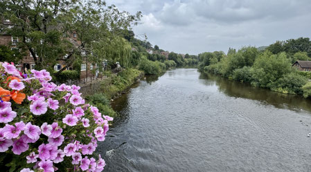
One of the longest sections so far. The expectation was to be by the river for most of the walk. But it didn't turn out that way. The route also looked very straightforward on the map, but there were a few places where what was on the ground didn't match the map.
Parking at start and finish were in official car parks and made things very easy and practical.
[Stg 1] [Stg 2] [Stg3] [Stg 4] [Stg 5] [Stg 6] [Stg 7] [Stg 8] [Stg 9] [Stg 10] [Stg 11] [Stg 12] [Stg 13] [Stg 14] [Stg 15] [Stg 16] [Stg 17] [Stg 18] [Stg 19]
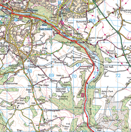
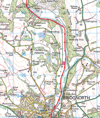
ROUTE MAP STAGE 13
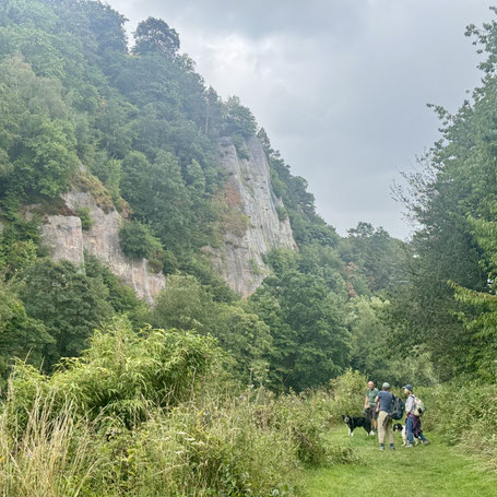
A quick visit to Ironbridge "facilities", then it looked like we were to follow NCR 45 until we headed down to the river and followed the banks of the Severn back to Bridgnorth. In fact, the cycle route followed a series of public minor roads, with a few twists and turns, past Jackfield tile museum and then on to a more recognisable cycle way. The cycle route followed a disused train line, with stations clearly identifiable en route (domestic homes now). There were quite a few cars (anglers) using the route and parking up, to head towards their riverside pegs along narrow tacks. We were able to use these. tracks to get to the river bank, but the bank became so overgrown it was impossible to follow the designated Severn Way. So we used the cycle path till it stopped and then were able to follow a clearer route by the river, through a golf course and in to Bridgnorth. No clearly identifiable Severn Way markers: did spot some in the undergrowth but they didn't offer clear direction.
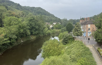
Photos below are a slide show of how the walk panned out. To start, click on top left image of the group below.


