The Severn Way
Stage 14: Bridgnorth to Hampton Loade
DATE: 26th September 2025
DISTANCE
5.95 miles (Walked)
TOTAL SO FAR: 118.40 miles
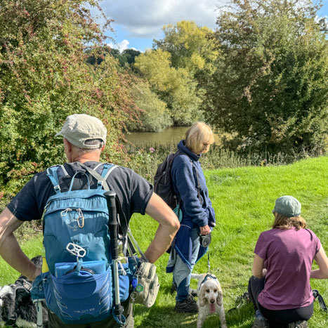
This was a really pleasant, short, 6 mile ramble. The weather was exceptionally good and had the added benefit of good parking at the end of the walk, with the start point parking being free on Sundays.
Signage again pretty much non existent with some area overgrown and a tight squeeze.
[Stg 1] [Stg 2] [Stg3] [Stg 4] [Stg 5] [Stg 6] [Stg 7] [Stg 8] [Stg 9] [Stg 10] [Stg 11] [Stg 12] [Stg 13] [Stg 14] [Stg 15] [Stg 16] [Stg 17] [Stg 18] [Stg 19]
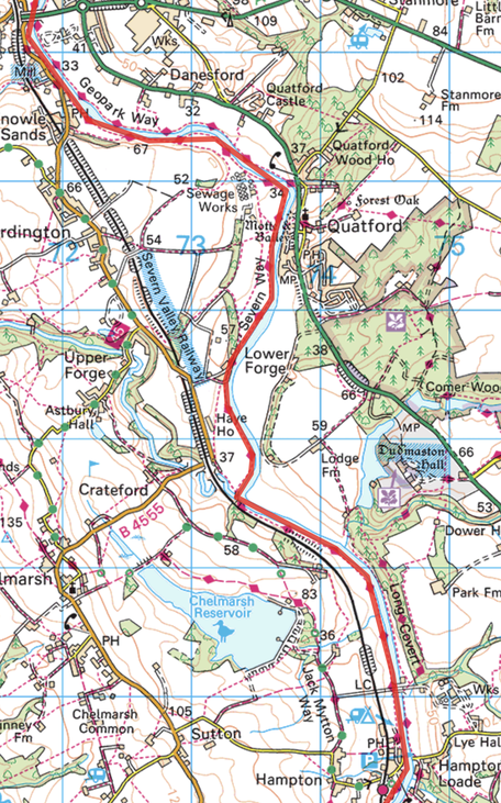
ROUTE MAP 14
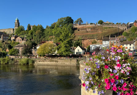
This leg started in Bridgnorth, parking in the "lower town": this gave an added bonus of seeing the Bridgnorth Cliff railway as we crossed the Severn. The whole of the walk was on the West Bank of the river. After leaving Bridgnorth, the route was literally on the river bank almost as far as Hampton Loade station, There very real sense that we were in the Severn "valley" with the SWR shadowing us all the way to Hampton Loade. Sandstone cliffs / outcrops were visible at various points on the way. The walk was mainly through arable and rough pasture; at one point the grounds of Dudmaston hose were visible across the river.
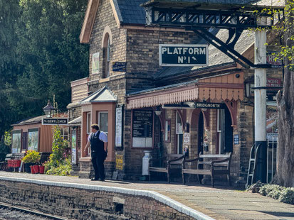
The end point was Hampton Loade station. It was great because as well as all facilities being open, we had a coffee and picnic there. With the added bonus of seeing a steam locomotive arrive and an old diesel train depart.
Photos below are a slide show of how the walk panned out. To start, click on top left image of the group below.


